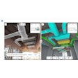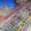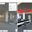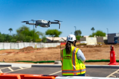
OpenSpace has introduced a new product called OpenSpace Air, designed to consolidate a range of reality capture data — including drone footage, 360° images, mobile phone photos and laser scans — into a single, accessible platform for construction teams. The tool aims to streamline field operations and provide clearer project visibility for stakeholders at all levels.
With the growing use of aerial imagery on construction sites, OpenSpace Air gives users a way to integrate drone data with existing site visuals. This includes orthomosaics, point clouds, 3D meshes and elevation models, alongside indoor captures already supported by the OpenSpace platform.
 OpenSpace
“We can now expand outside the four walls of a building to show things that we weren’t able to see before,” says Scott Wyatt, Project Executive at Gilbane Construction.
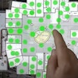
The platform is designed to be easy to adopt in the field, with drone-agnostic compatibility, rapid processing capabilities, and support for iOS and Android devices. Teams can compare data from multiple drone flights, overlay project drawings and monitor progress directly from their mobile devices.
Key features include:
- Uploading and processing of drone imagery in hours
- Compatibility with most drones and flight planning software
- Integration with various formats such as 3D meshes and elevation models
- Drawing overlay tools for planning and verification
- Visual tracking of changes over time
- No limits on users, projects or drone uploads
 OpenSpace
OpenSpace Air is included with every active OpenSpace subscription and is now available for immediate use. The addition of aerial data is expected to enhance project planning, communication and tracking across the construction lifecycle.

