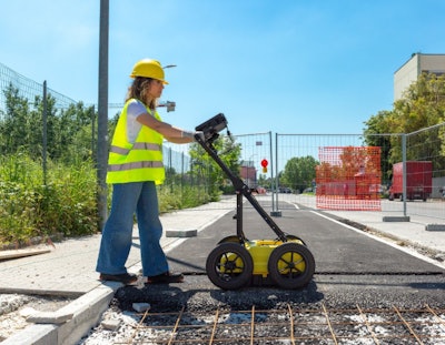
Leica Geosystems has introduced the Leica DS4000, an underground utility detection system designed to identify buried infrastructure with improved depth and clarity. Capable of detecting underground assets up to 60% deeper than traditional methods, the system aims to enhance safety and efficiency in subsurface mapping.
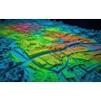
The DS4000 integrates Equalised Scrambling Technology (EsT), developed by IDS GeoRadar, which enhances the visibility of both shallow and deeply buried utilities. It also increases the chances of detecting smaller or more elusive items like fiber optic cables, which are often missed by older systems.
With urban environments growing increasingly dense, the need for accurate underground utility mapping is becoming more urgent. The DS4000 is intended to help reduce the risk of damaging critical infrastructure during excavation or construction.
Key features include a lightweight, portable design suitable for single-person operation. The system’s wheels can be swapped out for different terrains, and its antenna automatically adjusts to optimize detection and navigate obstacles — helping to prevent equipment damage and maintain consistent performance.
As utility detection becomes more essential in urban development and infrastructure maintenance, tools like the DS4000 highlight the industry’s shift toward greater precision and safety when working below the surface.

