3D modeling Software & CAD (Earthworks)
3D Modeling Software & CAD Explained
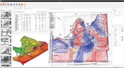
Drawings in two dimensions that have elevation data added become 3D models. The ability to design and represent data in 3 dimensions creates multiple efficiencies for contractors, designers, and building teams. Construction software for 3D modeling can include design, GIS, lidar, and other tools that plot data in space.
Buildsoft
Building B, Suite 201, 4 Hyde Parade
Campbelltown, Sydney
Causeway Technologies
Comino House, Furlong Road
Bourne End, Buckinghamshire

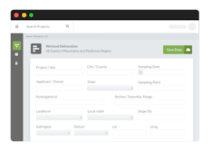
Ecobot
1 Haywood Street, Suite 429, Asheville, NC, US

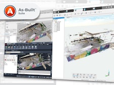
FARO
125 Technology Park
Lake Mary, FL

InSite Software Inc.
20 Wildbriar Rd, Ste C
Rochester, NY 14623-3969
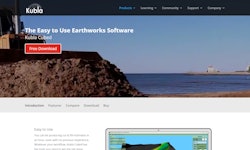
Kubla
5th Floor,
1 Temple Way
Bristol